

Conditions are within normal limits and no flooding is expected.
The rivers and creeks in southern Ontario follow a typical seasonal flow pattern. During the winter, there are often brief periods of warmer temperatures. This can cause snow and ice to melt, increasing water levels and causing flooding. Rain that falls on snow or frozen ground can cause severe and widespread flooding. Melting snow and lots of rain in the spring may also cause high water levels and flooding. During the summer, localized thunderstorms are usually the cause of flooding. In the fall, intense rain from large storms is common and can also cause flooding. Remember that high water levels and flows can occur anytime of the year, so stay aware and stay safe.
Flooding can affect development near lakes, rivers, creeks, and streams. Floods are the most common and costly type of natural disaster. Removing vegetation, altering shorelines, and increasing paved areas can cause more severe flooding. Climate change can also cause extreme weather events, resulting in flooding more often.
Otonabee Conservation reduces the potential for damage and loss from flooding by:
Flood Forecasting and Warning
Our flood forecasting and warning program protects life and property from flooding. To do this, staff review available data and complete a flood risk analysis each day. If flooding is possible or expected, we issue a flood message. This information helps residents and municipalities get prepared. You can view current and past flood messages on our website and social media platforms.
We issue different types of flood messages, depending on forecasted conditions:
Conditions are within normal limits and no flooding is expected.
 |
Watershed Conditions Statement - Water Safety
High flows, unsafe banks, melting ice, or other factors could be dangerous. Flooding is not expected. Recreational users such as anglers, paddlers, hikers, and children should use caution.
 |
Watershed Condition Statement - Flood Outlook
Early notice of the potential for flooding based on weather forecast. Heavy rain, snow melt, or high winds could lead to increased runoff, ice jams, flooding, or erosion.
|
Issued when flooding is possible in specific watercourses or municipalities. Municipalities, emergency services, and individual landowners in flood-prone areas should prepare.
 |
Issued when flooding is imminent or already occurring in specific watercourses or municipalities. Municipalities and individuals should take actions which may include road closures and evacuations.
 |
Preparing for Flooding
If you experience a flood emergency, dial 911 immediately!
To learn more about how you can be prepared for flooding, check out the following resources.
Monitoring Water Levels, Flow, Precipitation and Climate
Our monitoring network collects information about precipitation, water levels, and water flow. We also gather information climate information including air temperature, soil temperature, and soil moisture. We use this data for our Flood Forecasting and Warning and Low Water Response Programs. Use our interactive map to view precipitation and water levels.
Our monitoring network includes:
We also have access to other monitoring networks in our watershed region including:
Contact Us
250 Milroy Drive
Peterborough, ON K9H 7M9
Voice: 705-745-5791
Fax: 705-745-7488
Email: otonabeeca@otonabeeconservation.com
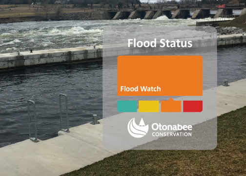
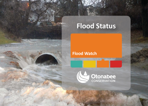
A Flood Watch has been issued to alert municipalities, residents, and businesses that flooding of the Kawartha Lakes from the Tri-lakes (Buckhorn Lake, Pigeon Lake and Chemong Lake) eastward to the Otonabee River, Rice Lake, and Trent River to Hastings is possible.
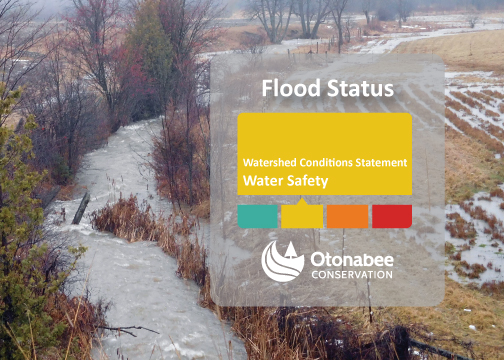
A WATERSHED CONDITIONS STATEMENT – WATER SAFETY has been issued on April 2, 2024 because expected rainfall events over the next 3 days will cause periods of higher-than-normal water flows/levels that may be dangerous. Flooding is not expected.
WATERSHED CONDITIONS STATEMENT – WATER SAFETY issued for Trent-Severn Waterway (TSW) for Kawartha Lakes, Otonabee River, Rice Lake and Trent River to Hastings and all Local Watercourses.
Issued: 12:15 p.m., Wednesday January 24, 2024
This FLOOD WATCH is issued to alert municipalities, residents, and businesses that flooding of local rivers, streams and creeks is possible.
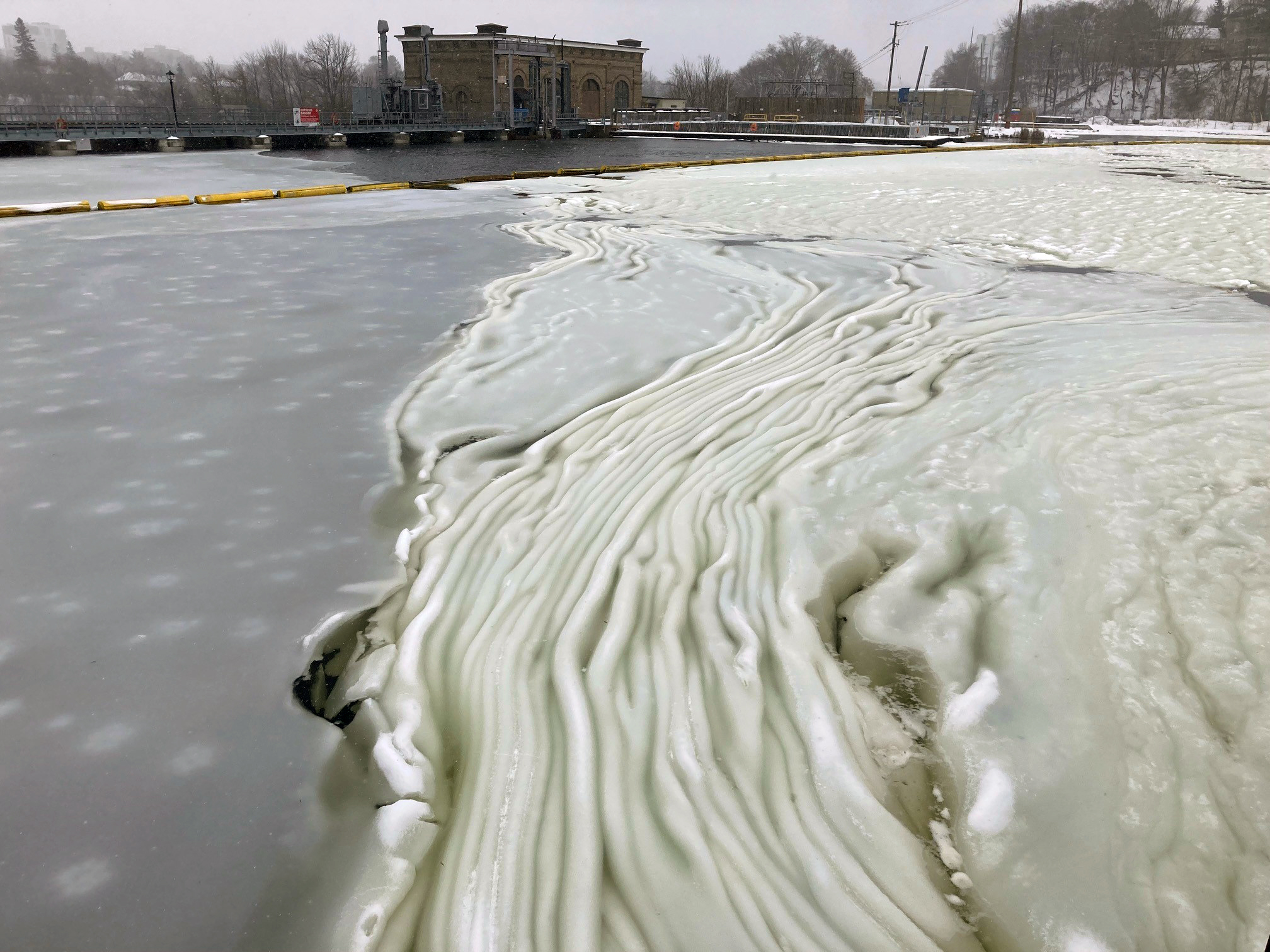
Have you heard of frazil ice? Frazil ice is a kind of slush ice. It can form in watercourses when cold air temperatures and wind chill combine to cause surface water temperature to be super-cooled.
A FLOOD WATCH has been issued for the Trent Severn Waterway to alert municipalities, residents, and businesses that floods are possible.
Issued: 12:30 p.m., Tuesday, January 9, 2024
WATERSHED CONDITIONS STATEMENT – WATER SAFETY issued for all area waterbodies and watercourses.
Subscribe to our News
Stay up to date on Otonabee Conservation's activities, events, programs and operations by subscribing to our News.
This website uses cookies to enhance usability and provide you with a more personal experience. By using this website, you agree to our use of cookies as explained in our Privacy Policy.