THIS FLOOD MESSAGE HAS EXPIRED | Flood Watch Issued For Trent Severn Waterway on April 15, 2024
 |
Message # 2024-06
Issued: 2:15 p.m., Monday April 15, 2024
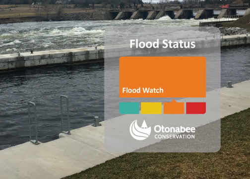
Flood Watch - Issued for the Trent-Severn Waterway within the geographical jurisdiction of Otonabee Conservation (i.e., Trent River to Hasting, Rice Lake, Otonabee River, Lake Katchewanooka, Clear Lake, Stony Lake, Lovesick Lake, Lower Buckhorn Lake, Buckhorn Lake, Chemong Lake, and Pigeon Lake).
Issued to: Municipalities of Selwyn, Douro-Dummer, Asphodel-Norwood, Otonabee-South Monaghan, Cavan Monaghan, City of Kawartha Lakes, City of Peterborough and Trent Hills, and ORCA’s other partners in flood emergency management.
This Flood Watch is issued to alert municipalities, residents, and businesses that flooding of the Kawartha Lakes from the Tri-lakes (Buckhorn Lake, Pigeon Lake and Chemong Lake) eastward to the Otonabee River, Rice Lake, and Trent River to Hastings is possible.
Weather
Regional-scale low-pressure storm systems and their frontal passages have brought frequent widespread rainfall to the Haliburton/Reservoir Lakes Region, stretching from the Kawartha Lakes in the south to Algonquin Park in the north.
Hydrology
The Haliburton/Reservoir Lakes Region covers more than 4000 km2 and is hydrologically connected to the Kawartha Lakes by the Gull, Burnt, and Mississauga Rivers, and Nogies, Eels, and Jacks Creeks. Waters from the Kawartha Lakes empty into the Otonabee River which flows into Rice Lake.
Trent Severn Waterway Conditions
As a result of the frequent widespread rainfall in the Haliburton/Reservoir Lakes Region, inflows to the Trent-Severn Waterway from the Haliburton/Reservoir Lakes Region are rising. The rising water levels/flows have the potential to induce flooding. Low-lying property owners along the shorelines of the Kawartha Lakes, Otonabee River, Rice Lake, and Trent River to Hastings are advised to prepare for potential flooding over the next two (2) week period. Flood-vulnerable residents/businesses along the shores of the Otonabee River below Lansdowne Street (Lock #19) are advised to be extra vigilant and prepare for possible flooding. They will experience rising water levels due to both increased flows discharging from the Kawartha Lakes and backwater from a rising Rice Lake.
Water levels can be monitored on-line at:
- Trent-Severn Waterway’s Water Management InfoNet
- Water Survey of Canada Real-Time Hydrometric Data
- Otonabee Region Conservation Authority website/
This Flood Watch message will expire Monday, April 29, 2024, unless up-dated earlier.
For more information:
Gordon Earle | Flood Forecasting & Warning Duty Officer | 705-745-5791 x 214
250 Milroy Drive, Peterborough, ON K9H 7M9
orcafloodduty@otonabeeconservation.com | Flood Watch Hotline 705-745-5791 x 228
Contact Us
250 Milroy Drive
Peterborough, ON K9H 7M9
Voice: 705-745-5791
Fax: 705-745-7488
Email: otonabeeca@otonabeeconservation.com
Subscribe to our News
Stay up to date on Otonabee Conservation's activities, events, programs and operations by subscribing to our News.