Flood Warning Extended for TSW, Flood Watch issued for local waterways.
Message from the City of Peterborough:
Message # 2026-11
Issued: 2:00 pm., Wednesday, April 15, 2026
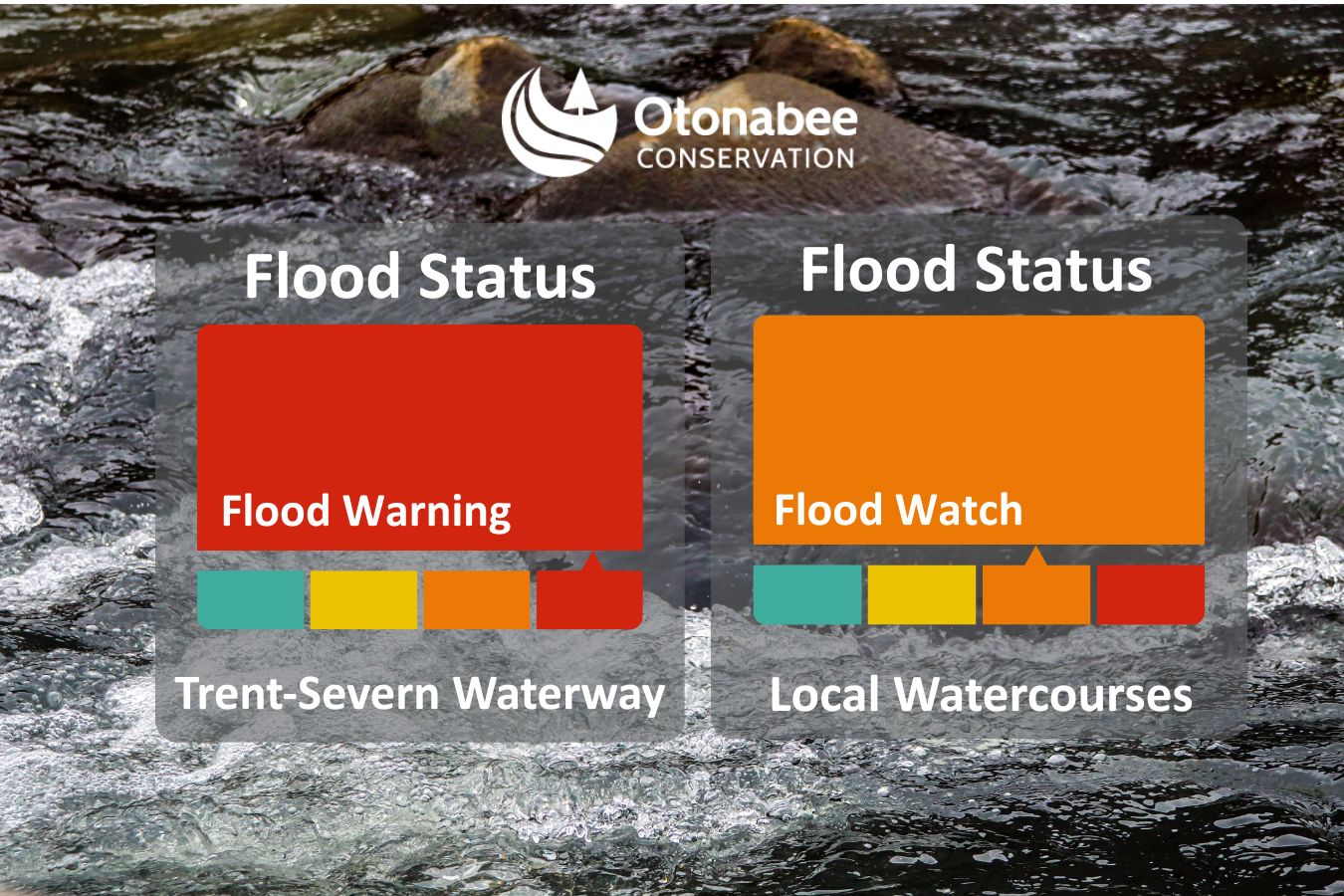
FLOOD WATCH – has been issued for local watercourses within the jurisdiction of Otonabee Conservation
Flood Warning - has been extended for the Trent-Severn Waterway in the jurisdiction of Otonabee Conservation
Forecasts indicate rainfall will continue over the next five days. As a result, rising water levels has prompted Otonabee Conservation to upgrade the flood risk for local watercourses to a FLOOD WATCH and extend the existing FLOOD WARNING for the Trent-Severn Waterway within the jurisdiction of Otonabee Conservation.
Otonabee Conservation anticipates water levels will continue to rise across the Kawartha Lakes within the jurisdiction of Otonabee Conservation, Otonabee River, Rice Lake, and the Trent River to Hastings over the next seven days. This increase is driven by significant runoff from recent rainfall and ongoing snowmelt in the Haliburton Reservoir Lakes region. As a result, flooding in low-lying areas is imminent or already occurring.
Residents, along the shores of local watercourses, especially those located in low-lying areas, are advised to monitor conditions and take appropriate action to protect themselves and their property against imminent or occurring flooding. Stay informed by monitoring weather updates and water levels or subscribe on our website to receive flood messages directly.
Water levels can be monitored on-line at:
1) Trent-Severn Waterway’s Water Management InfoNet
2) Water Survey of Canada Real-Time Hydrometric Data
3) Otonabee Conservation website
This FLOOD WARNING and FLOOD WARNING message will expire Thursday, April 23, 2026, at 3:00p.m., unless updated earlier.
-30-
Neil MacFarlane | Flood Forecasting & Warning Duty Officer | 705-745-5791 x 231
250 Milroy Drive, Peterborough, ON K9H 7M9 |
Subscribe to our News
Stay up to date on Otonabee Conservation's activities, events, programs and operations by subscribing to our News.